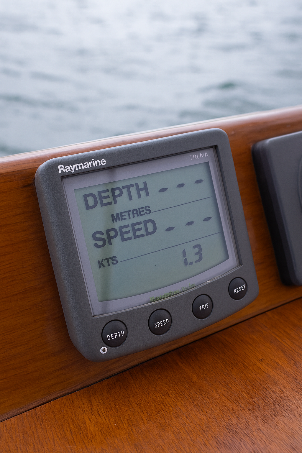
Marine Charts


Navigate with precision using our up-to-date marine charts from Navionics, C-MAP, and Garmin BlueChart. Designed for coastal cruising, offshore passages, and inland waterways, these charts provide detailed depth contours, navigation aids, tides, and port information. Compatible with most modern plotters and GPS systems, they ensure accurate route planning and hazard awareness. Regular updates keep your data current for safe navigation worldwide. Whether fishing, sailing, or exploring new destinations, our marine charts give you confidence on the water with professional-grade accuracy, easy integration, and coverage for every region — from local coasts to global routes.
Skip to product grid
-
-
Used

 Vendor:Garmin
Garmin BlueChart Data Card MEU018R EU018R Netherlands Belgium North Sea GPSMAP
Regular price $141.55 USDRegular price -
Used

 Vendor:Garmin
Garmin BlueChart Data Card - MEU048R Stockholm Malaren Vanern Vattern GPSMAP
Regular price $122.55 USDRegular price -
Used

 Vendor:Garmin
Garmin BlueChart Data Card G1 MEU021R Denmark Sweden Germany Poland
Regular price $122.55 USDRegular price -
Used

 Vendor:Garmin
Garmin BlueChart Data Card - MEU468R Sodertalje Trelleb Sweden GPSMAP
Regular price $122.55 USDRegular price -
Sold outUsed

-
Used

 Vendor:Garmin
Garmin BlueChart Data Card G1 MEU021R Denmark Sweden Jan 06
Regular price $122.55 USDRegular price -
-