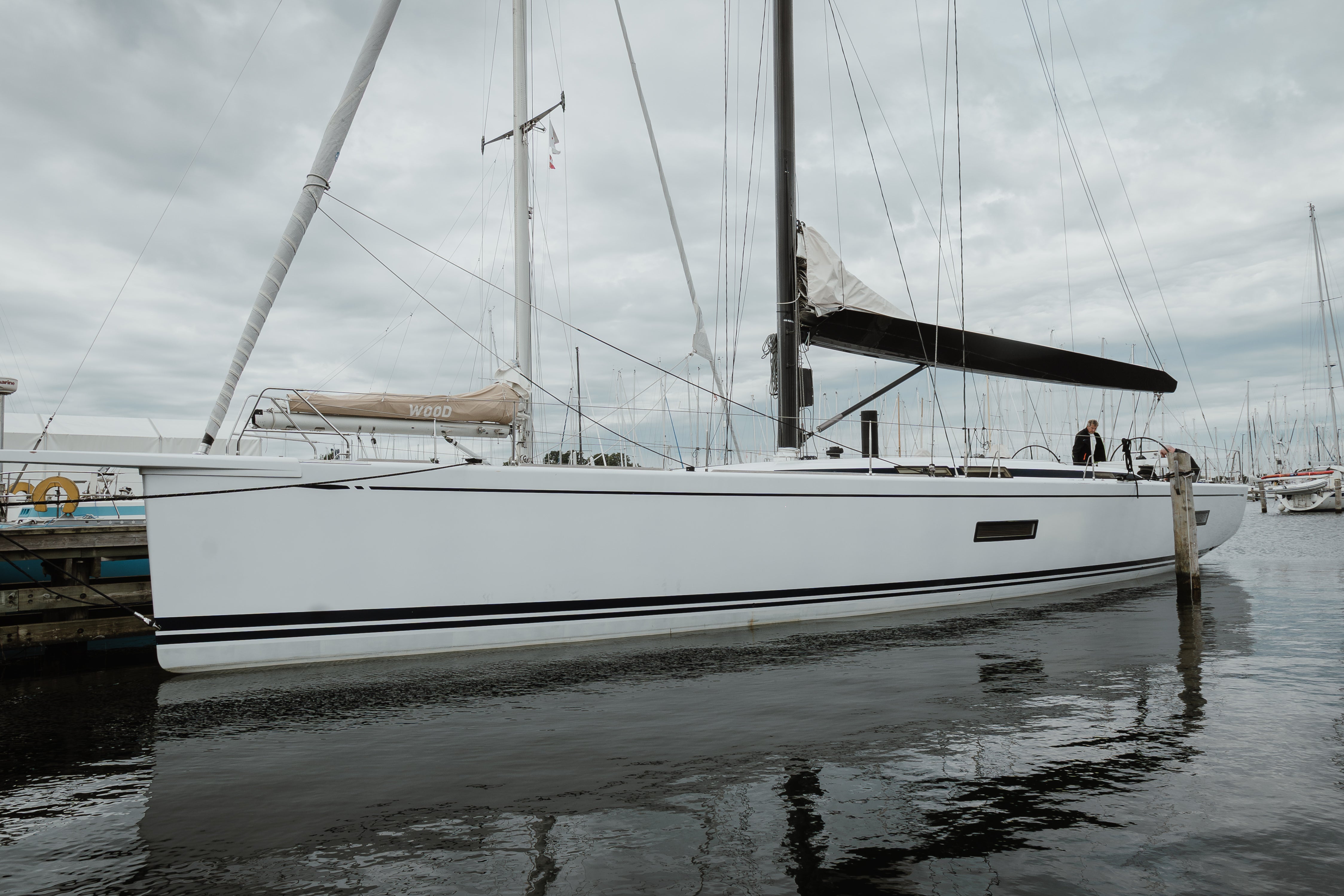
Marine Charts


Navigate with precision using our up-to-date marine charts from Navionics, C-MAP, and Garmin BlueChart. Designed for coastal cruising, offshore passages, and inland waterways, these charts provide detailed depth contours, navigation aids, tides, and port information. Compatible with most modern plotters and GPS systems, they ensure accurate route planning and hazard awareness. Regular updates keep your data current for safe navigation worldwide. Whether fishing, sailing, or exploring new destinations, our marine charts give you confidence on the water with professional-grade accuracy, easy integration, and coverage for every region — from local coasts to global routes.
Skip to product grid
-
-
Used

 Vendor:C-MAP
C-MAP NT+ KULLEN EN-C109 C-Card Marine Charts - Raymarine, Navman, Furuno
Regular price $160.55 USDRegular price$0.00 USDSale price $160.55 USD -
Used

 Vendor:C-MAP
C-MAP NT+ EN-C253 Western Sweden AB Ramantenn C-Card Chart SIMRAD Raymarine
Regular price $189.05 USDRegular price$0.00 USDSale price $189.05 USD -
Used

 Vendor:C-MAP
C-MAP NT+ KULLEN EN-C109 C-Card Marine Charts - Raymarine, Navman, Furuno
Regular price $160.55 USDRegular price$0.00 USDSale price $160.55 USD -
Used

 Vendor:Navionics
Navionics 45XG CF Gold Card Denmark Skaggerak Kattegat 2GB Gold Raymarine
Regular price $189.05 USDRegular price$0.00 USDSale price $189.05 USD -
Used

 Vendor:Garmin
Garmin BlueChart Data Card - MEU021R Denmark Sweden Germany Poland - OEM PERFECT
Regular price $122.55 USDRegular price$0.00 USDSale price $122.55 USD -
Used

 Vendor:C-MAP
C-MAP Max Baltic Sea And Denmark M299 36 C-Card Marine Charts Navigation
Regular price $189.05 USDRegular price$0.00 USDSale price $189.05 USD -
Sold outUsed


-
Used

 Vendor:C-MAP
CMAP NT Netherlands And Belgium EN-C070.15 Marine Charts f/Raymarine
Regular price $141.55 USDRegular price$0.00 USDSale price $141.55 USD -
Used

 Vendor:NAVIONICS
NAVIONICS+ CF /NAV+ Denmark Sweden Germany 45XG Chart Boat Marine Navigation
Regular price $189.05 USDRegular price$0.00 USDSale price $189.05 USD -
Sold outUsed


-
Sold outUsed


-
Sold outUsed


-
-
Sold outUsed


-
Remanufactured

 Vendor:Navionics
Navionics Chart Card CF/906G US South East - Bahamas Jan 2006 128MB
Regular price $189.05 USDRegular price$0.00 USDSale price $189.05 USD -
Sold outUsed


-
Sold outUsed


-
Used

 Vendor:C-MAP
C-MAP MAX EN-M299 Denmark Sweden Norway Baltic Sea C-CARD Digital Charts SD Card
Regular price $236.55 USDRegular price$0.00 USDSale price $236.55 USD -
Used

 Vendor:Garmin
Garmin BlueChart Data Card MUS008R Charleston Jacksonville Atlantic GPSMAP 182C
Regular price $122.55 USDRegular price$0.00 USDSale price $122.55 USD -
-
Used

 Vendor:C-MAP
C-MAP EM-B057 LOW TYRRENIAN SEA & East Sardinia C-Card - Raymarine Simrad
Regular price $160.55 USDRegular price$0.00 USDSale price $160.55 USD -
Sold outUsed


-
Used

 Vendor:C-MAP
C-MAP NT Card Osen to Bodoe Marine Charts EN-C569 Norway SIMRAD Raymarine
Regular price $189.05 USDRegular price$0.00 USDSale price $189.05 USD -
Used

 Vendor:C-MAP
C-MAP EN-C569 Namsos Senija Island C-Card - Raymarine Simrad Raythoen
Regular price $160.55 USDRegular price$0.00 USDSale price $160.55 USD -
Used

 Vendor:NAVIONICS
NAVIONICS 15G OSLO TO DENMARK 128MB Marine Charts CF Card Raymarine E120 E80
Regular price $189.05 USDRegular price$0.00 USDSale price $189.05 USD -
Used

 Vendor:Garmin
Garmin Bluechart G2 HEU459S Aarhus Kiel Koszalin MicroSD SD GPSMAP
Regular price $122.55 USDRegular price$0.00 USDSale price $122.55 USD -
Used

 Vendor:C-MAP
C-MAP NT Card BOEMLO Ulsteinvik Marine Charts Hardangerf Jorden EN-C567 Norway
Regular price $189.05 USDRegular price$0.00 USDSale price $189.05 USD -
Used

 Vendor:C-MAP
C-MAP NT+ EN-B516 Sandnessjoen Bodoe C-Card Chart SIMRAD Raymarine
Regular price $160.55 USDRegular price$0.00 USDSale price $160.55 USD -
Used

 Vendor:C-MAP
C-MAP NT+ EN-C511 Ulsteinvik Kristiansund - FP-Card Furuno NavNet VX1 VX2 MFD
Regular price $379.05 USDRegular price$0.00 USDSale price $379.05 USD