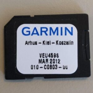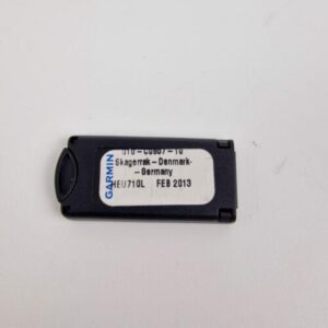
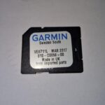
Garmin g2 VEU710L Garmin Denmark, Skagerrak & Kattegat (010-C0857-10) GPSMAP SD
USD189.05
- Condition: Used
- Shipping Info: Fast worldwide shipping
- Return Info: 30-day return policy
- Warranty Info: 90-Day
![]()
2 in stock
Description
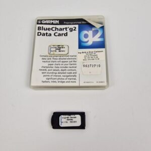
Garmin g2 VEU710L Garmin Denmark, Skagerrak&Kattegat (010-C0857-10) GPSMAP Card
Works perfectly, fully tested with guarantee.
SD card / MicroSD
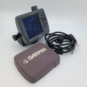
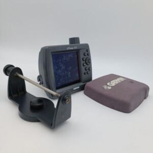
For Garmin GPSMAP 720 720s 525 525 520 521 420 421 421s 4008 4010 4012 6008 5008 etc
*****
Bluechart g2 marine maps allow you to see your vessel’s precise, on-chart position in relation to navaids, coastal features, anchorages, waterways, obstructions, restricted areas and more.
Depending on which unit the card is plugged into, the following features may be available. Realistic navigation features showing everything from shaded depth contours and coastlines to spot soundings, navaids, port plans, wrecks, obstructions, intertidal zones, restricted areas, and IALA symbols. Smooth display presentation including seamless transitioning between zoom levels and more continuity across chart boundaries. Safety Depth settings lets you select up to five values for specific depth contour intervals. Fishing charts to help scope out bottom contours and depth soundings with less visual clutter on the display. Choice of standard 2D direct overhead or 3D “over the bow” map perspective to make chart reading and orientation easier.
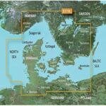
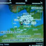
Detailed coverage of Denmark in its entirety including Limfjorden, Århus, and Copenhagen, as well as southern portions of Norway and Sweden, from Kristiansand, Nor. to Karlskrona, Swe., including Oslo, Nor., and Malmo and Trelleborg, Swe. and lakes Vänern, Vättern, Mjörn, Sommen, Nommen, and Bolmen. Coverage also includes Bremen and Hamburg from Germany’s North Sea coast, as well as Rostock and Rügen, Ger., and Scezcin, Pol. along the Baltic Coast.
Move Marine ApS
Additional information
| Weight | 0.0 g |
|---|---|
| Brand | Garmin |
| Warranty | 90 Day |
| Manufacturer Part Number | 010-C0857-10 |
| Country/Region of Manufacture | Denmark |
| Condition | Used |