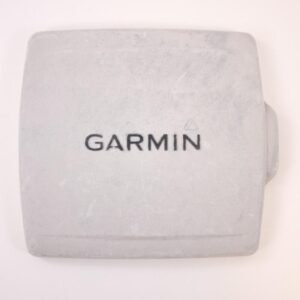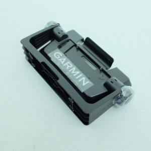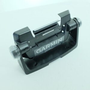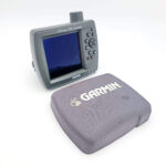
GARMIN GPSMAP 292 Color Chartplotter w/Sun cover, mount-NMEA0183 Perfect
USD399.00
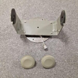
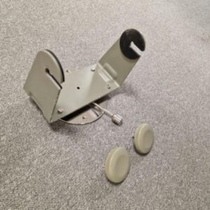
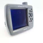
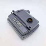
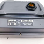
GARMIN GPSMAP 292 Color Chartplotter – NMEA in perfect condition. With built-in GPS antenna; it works perfectly, fully tested with guarantee, including the sun cover and mounting bracket.
****
Own the lake with the GPSMAP 292. With an enhanced wordwide basemap for extra-detailed depictions of shorelines, roads and surface features, the 292 can handle any fishing adventure.
Chart Your Course
The GPSMAP 292 features an enhanced worldwide basemap that depicts shorelines, roads, features in richer detail. The 5-inch screen shows details in bright, crisp color. And for even more detail, the 292 also accepts preloaded BlueChart g2 data cards, including bathymetric data.
Connect to another plotter
The 292 displays real time tide and current information, ao you can stay aware of changing conditions on the water. It also has Garmin’s proprietary CANet™ bus, so you can share information with another chartplotter or sounder on your boat.
GPSMAP 292: Ready for adventure on the high seas.
Description
Features
GARMIN GPSMAP 292 Color Chartplotter – NMEA in perfect condition. With built-in GPS antenna; it works perfectly, fully tested with guarantee, including the sun cover and mounting bracket.
****
Own the lake with the GPSMAP 292. With an enhanced wordwide basemap for extra-detailed depictions of shorelines, roads and surface features, the 292 can handle any fishing adventure.
Chart Your Course
The GPSMAP 292 features an enhanced worldwide basemap that depicts shorelines, roads, features in richer detail. The 5-inch screen shows details in bright, crisp color. And for even more detail, the 292 also accepts preloaded BlueChart g2 data cards, including bathymetric data.
Specifications
| Material | Praesent id enim sit amet.Tdio |
|---|---|
| Pshysical dimension | “6.3×6,2 x 3,1” (16,0 x 15,7 x 7,8 cm) |
| Display size | “3.0 x 4.0″, 5.0” diagonal (7.6 x 10,2 cm, 12,7 cm diagonal) |
| Display Resolution | 234 x 320 pixel |
| Display Type | 256-color TFT |
|---|---|
| Weight | 2.2 lb (908 g) |
| Water Rating | Gipx7 |
| Mounting option | 234 x 320 pixel |
| Maps & Memory | |
|---|---|
| Card Slots | Garmin Data Card |
| Waypoint | 3000 |
| Routes | 50 |
| Sensors | |
|---|---|
| Build in receiver | Hzgps Receiver |
| Nmea | 0183 Compatible |
| Chartplotter Features |
| Sensors | |
|---|---|
| Supports Ais | Tracks target ships position |
| Support Dsc | Display position data from Dsc Capable
VHF radio |
| Gsd | Balck box sonor support |
2 year warranty
Guarantee with no doubt
Free shipping
On orders over $50.00
Related products
-
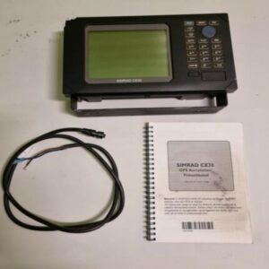

SIMRAD SHIPMATE CE30 Chartploter Sonar 50kHz NMEA0183 w/power cable + mount!
USD399.00Out of stock. Join the waitlist to be notified when this product becomes available.