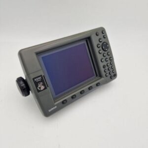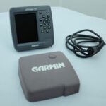
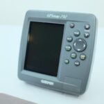
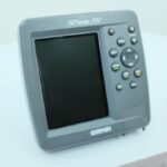

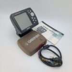
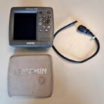
GARMIN GPSMAP 292 Color Chartplotter w/Sun cover, cable -NMEA PERFECT! GUARANTEE
USD399.00
Out of stock
Want to be notified when this product is back in stock?
Description
GARMIN GPSMAP 292 Color Chartplotter -NMEA PERFECT! GUARANTEE!
Works perfectly, fully tested with guarantee.
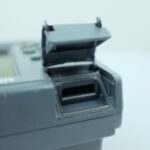
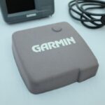
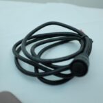
Including the sun cover and power / data cable.
****
Own the lake with the GPSMAP 292. With an enhanced worldwide basemap for extra-detailed depictions of shorelines, roads and surface features, the 292 can handle any fishing adventure.
Chart Your Course
The GPSMAP 292 features an enhanced worldwide basemap that depicts shorelines, roads and surface features in richer detail. The 5-inch screen shows details in bright, crisp color. And for even more detail, the 292 also accepts preloaded BlueChart g2 data cards, including bathymetric data.
Connect to Another Plotter
The 292 displays real-time tide and current information, so you can stay aware of changing conditions on the water. It also has Garmin’s proprietary CANet™ bus, so you can share information with another chartplotter or sounder on your boat.
GPSMAP 292: Ready for adventure on the high seas
General
PHYSICAL DIMENSIONS6.3″ x 6.2″ x 3.1″ (16.0 x 15.7 x 7.8 cm)
DISPLAY SIZE3.0″ x 4.0″, 5.0″ diagonal (7.6 x 10.2 cm, 12.7 cm diagonal)
DISPLAY RESOLUTION234 x 320 pixels
DISPLAY TYPE256-color TFT
WEIGHT2.0 lb (908 g)
WATER RATINGIPX7
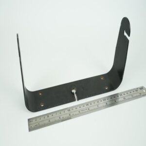
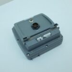
MOUNTING OPTIONSBail with Swivel or Flush
Maps & Memory
CARD SLOTS1 Garmin Data Card
WAYPOINTS3,000
ROUTES50
Sensors
BUILT-IN RECEIVER HZGPS Receiver
NMEA 0183 COMPATIBLE
Chartplotter Features
SUPPORTS AIS (TRACKS TARGET SHIPS POSITION)
SUPPORTS DSC (DISPLAYS POSITION DATA FROM DSC-CAPABLE VHF RADIO)
GSD™ BLACK BOX SONAR SUPPORT
Connections
NMEA 0183 INPUT (RX) PORTS1
Additional information
| Weight | 0.0 g |
|---|---|
| Brand | Garmin |
| Warranty | 90 Day |
| Manufacturer Part Number | GPSMAP 292 |
| Country/Region of Manufacture | Taiwan |
| Condition | Used |
Related products
-

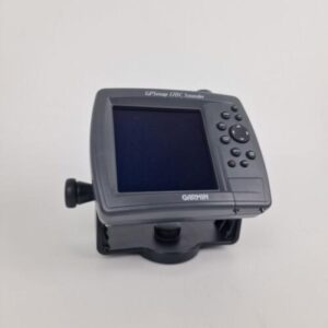
GARMIN GPSMAP 178C SOUNDER chartplotter Fishfinder with mount and power cable
USD399.00Out of stock. Join the waitlist to be notified when this product becomes available. -

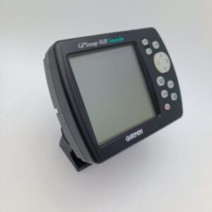
Garmin GPSMAP 168 Sounder Chartplotter w/Manual Pwr Cable Mounting Bracket
USD299.00Out of stock. Join the waitlist to be notified when this product becomes available.